The following article was originally posted on Esri, written by Ace Pipe Cleaning’s own Heather Harris and Josh Lynch.
March 2019
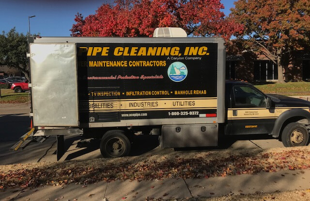
With over 64 years of continuous experience in the pipeline industry, Ace Pipe Cleaning, Inc. (APC), is a leader in the trenchless inspection and rehabilitation of water and wastewater infrastructure. APC performs comprehensive environmental infrastructure maintenance services throughout the country for cities, municipalities, and water utilities.
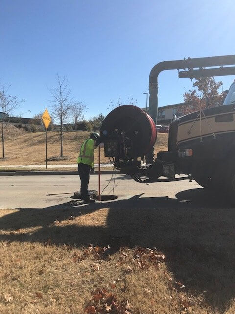
Using APC’s equipment and technology, our expert field staff quickly handle any project in a safe and reliable manner and finish with comprehensive reporting. The reporting includes data collection, video picture capture, video sequence capture, manhole inspection, data importing and exporting, and text insertion.
In 2015, APC implemented a project tracking protocol for our Data Department and began by providing paper maps to the field operators who were assigned to projects. At the end of each day, the operators would highlight on the map each line they serviced, then turn the map in to the superintendent along with their timecard. The superintendent would gather all the paper maps and timecards for the day and highlight the same finished lines on a much bigger map to show what lines still needed services. The superintendent would then turn the Pipeline Assessment Certification Program (PACP) data in to the Data Department on flash drives for review. The Data Department would compare the PACP data with the timecards that were turned in for the same project to confirm the accuracy of the information.
This process was not a one-size-fits-all solution. It worked for some projects but created a mixture of issues for APC when a large project came down the pipeline. One such example, Phase I of the Over Flow Control Program Project that APC performed for the City of Kansas City, Missouri, called for over a million feet of sewer pipes to be cleaned and televised. We initiated the project using our established protocol of receiving shapefiles from the city and then making map books for each basin out of the maps the city provided us.
Issues began when we had to start adding more operators and subcontractors to the project to meet the project completion date. We unknowingly had provided the operators and subcontractors with map books of lines that had already been inspected and without the larger map being fully updated to allow for confirmation. This obviously led to the operators’ cleaning and televising lines that had already been completed, causing us to lose revenue because we were unable to bill for duplicate inspections. To prevent the problem from happening again, we had operators fill out an Excel tracking sheet by hand, but ultimately this was only a temporary solution.
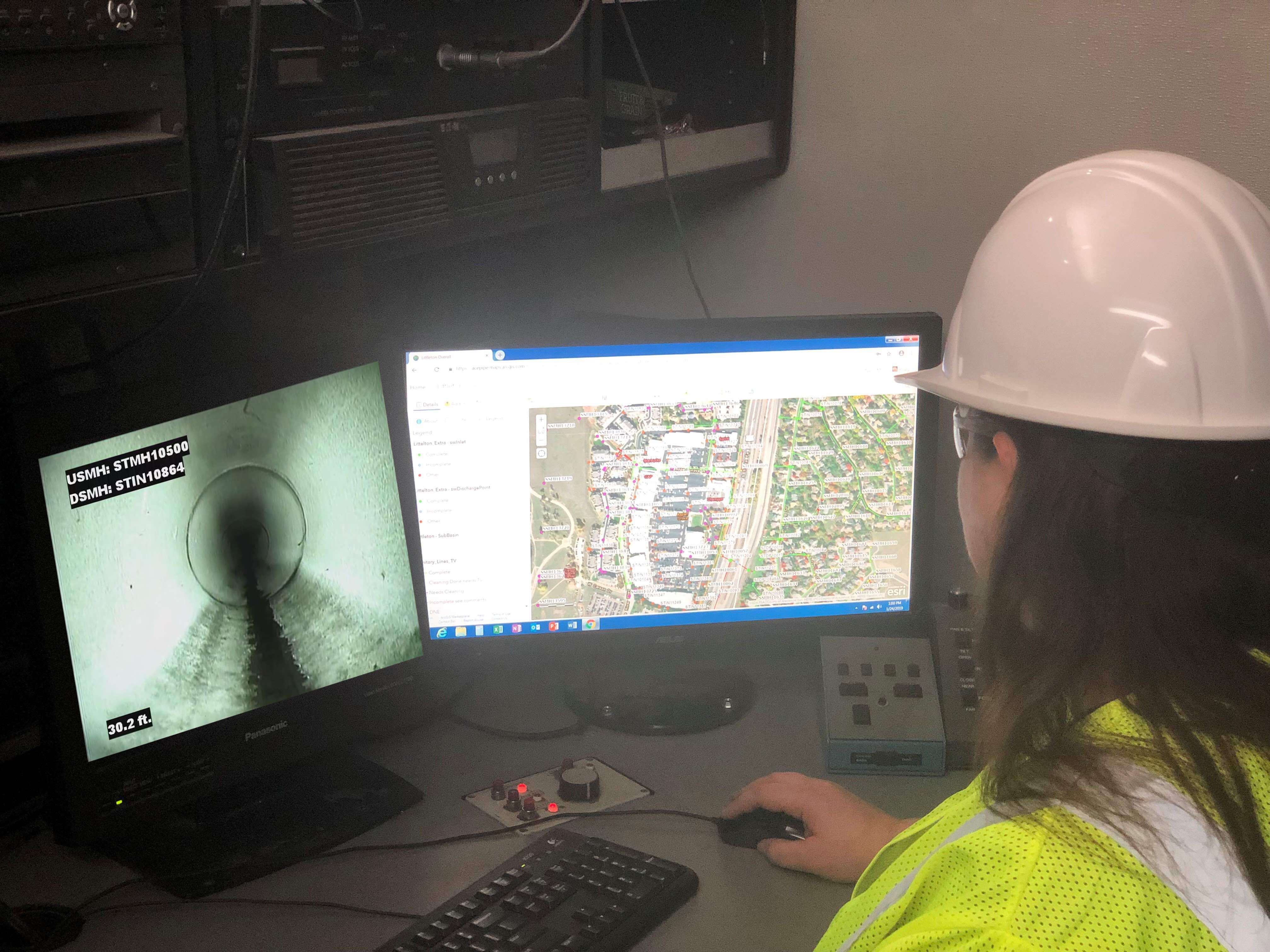
When APC’s contract with the City of Kansas City, Missouri, for Phase II of the Over Flow Control Program was renewed, we knew we had to revisit our tracking protocol for the Data Department and adjust it accordingly. We did so by making the maps interactive, utilizing the cloud-based ArcGIS Online from Esri. Esri ArcGIS products are designed to deliver location intelligence and meet the digital transformation needs of organizations. ArcGIS Online provided us with a solution to make maps and analyze data and to share and collaborate with the operators in real time.
Today, when APC operators are assigned to new projects, they can log in to ArcGIS Online from their computers and fill in the map according to the services they provided, which allows project tracking. Once this data is uploaded, the map segment will turn a specific color associated to the new, completed status, and every operator sees the updates in real time.
The benefits of implementing Esri ArcGIS two years ago have been recognized throughout Ace Pipe Cleaning, even in Quality Assurance and Control. This program single-handedly gives us the ability to create network datasets, perform analysis on geodatabase data and shapefiles, execute smart data compression, and format data, and it assists in creating compelling reports for project completion. It has increased productivity by improving quality, performance, and usability for our superintendents and operators. When we utilize ArcGIS alongside our pipe inspection management software ITpipes, we stand alone by providing the most sophisticated data collection, analysis, reporting, and archiving.